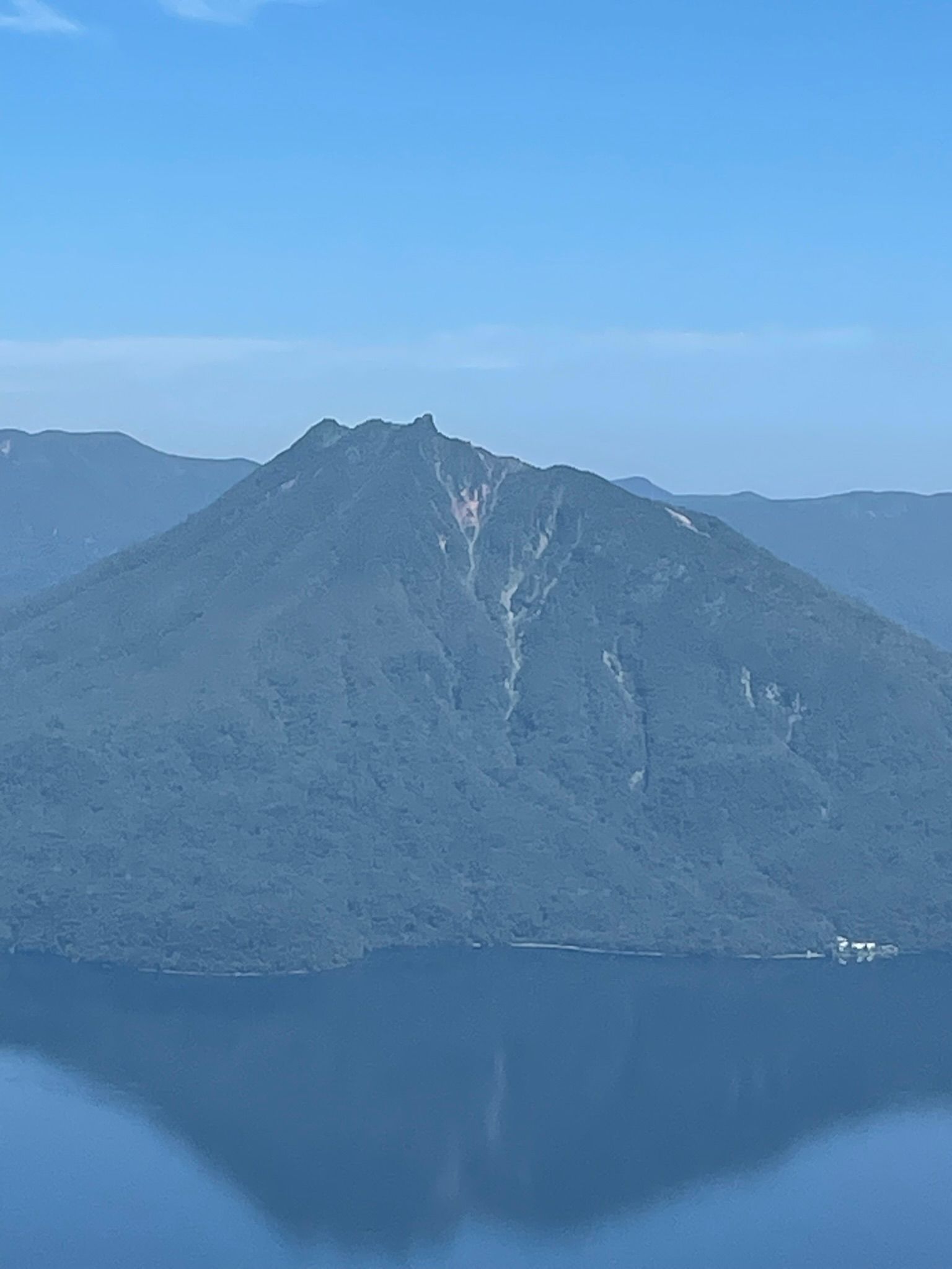
恵庭岳 Eniwa-dake
The trail to Eniwa‑dake (1,320 m) begins near the western shore of Lake Shikotsu, starting off with a traverse up the old debris field in the dry river bed. There's a massive jumble of deadfall and material from previous land slides. Once through this area, we move to climbing immediately into dense mixed forest dominated by birch, spruce, and thick sasa. The lower section follows a well‑cut path with a steady, moderate gradient, gaining elevation quickly as it rises toward the mountain’s long western ridge. Occasional openings in the trees offer early views across the lake toward Tarumae‑zan and the surrounding caldera rim.
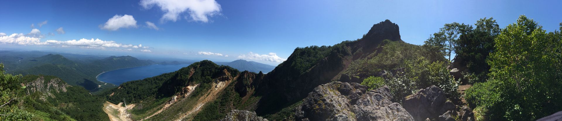
As the trail reaches the ridge, the forest thins and the terrain becomes more rugged. The path follows the crest over a series of small rises, with increasingly expansive views of Lake Shikotsu’s deep blue water below. The final approach steepens noticeably, transitioning to loose volcanic gravel and exposed rock typical of the Shikotsu‑Toya volcanic group. A short, narrow traverse leads to the first viewpoint, a broad shoulder with excellent panoramas of the lake, Tarumae‑zan, and the outer rim peaks.
Beyond this point, the route becomes more technical. The true summit of Eniwa‑dake is closed due to unstable rock and ongoing volcanic activity, but hikers can continue to the second viewpoint, a dramatic perch on the upper ridge with sweeping views over the caldera and the Pacific coast on clear days. This is the usual turnaround point. After enjoying the scenery, return via the same route, descending carefully through the loose upper slopes before re‑entering the forest.
Eniwa‑dake is one of the most striking peaks in the Shikotsu‑Toya region, offering a satisfying mix of forest hiking, ridge walking, and volcanic scenery — all within easy reach of Sapporo.