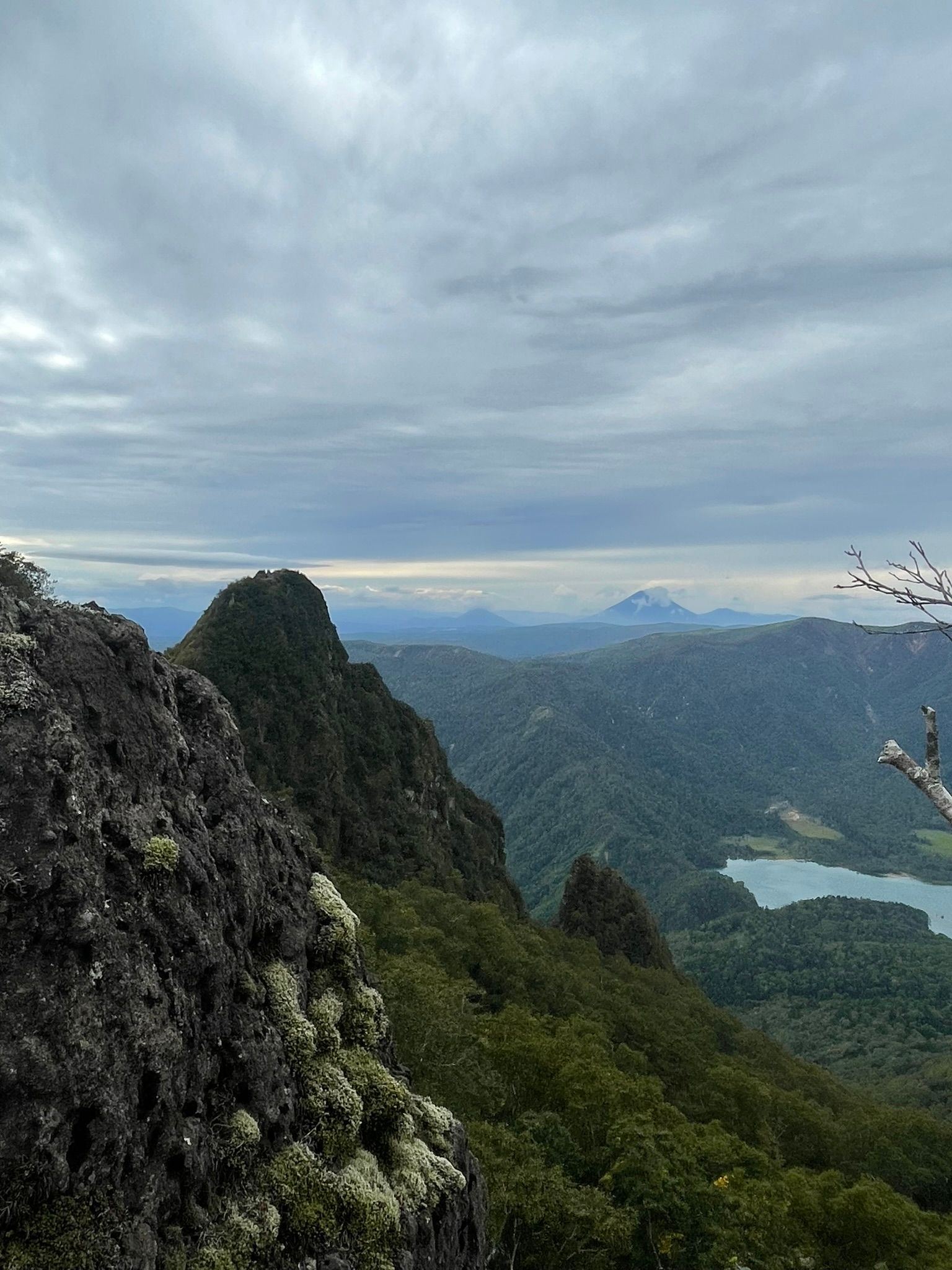
恵庭岳西峰
Eniwadake West Peak 1319 masl
Eniwa‑dake (恵庭岳) stands on the northern rim of the Shikotsu caldera, a landscape formed by major eruptions roughly 40,000 years ago. The mountain itself is a comparatively young volcanic cone, still showing signs of geothermal activity, which is why the true summit remains closed for safety. During the early development of Shikotsu‑Toya National Park, survey teams and botanists approached Eniwa‑dake from the lake shore to study its sharp volcanic ridges and diverse plant communities. As mountaineering grew in Hokkaido through the mid‑20th century, Eniwa‑dake became known for its rugged terrain, dramatic crater views, and its role as one of the three iconic peaks surrounding Lake Shikotsu.
The north climbing course
is the only safe approach to Eniwa‑dake’s West Peak, the highest point currently open to climbers. This peak cannot be accessed via the traditional, more popular Poropinai route which starts below the shikotsuko observation area closer to the shoreline on Route 453.
Beginning in quiet mixed forest, the trail climbs steadily through birch, spruce, and sasa. The trail passes through so watering holes for deer and local wilderlife (such as the Ezo Brown Bear), so we must be alert and mindful of the potential hazards this presents. It traverses across a few natural terraced features with gradual elevation gain, before gaining a broad northern spur that forms into a tight ridge. From here the character shifts to true volcanic terrain—loose gravel, exposed rock, and steep pitches shaped by past eruptions.
At around 950 masl the vegetation changes to subalpine grass and the birch and stoney dwarf pine are prevalent. At the 1100 metre elevation mark the trail drops into a steep reentrant that follows up to the to saddle.
As the final ridgeline is attained, sweeping views open toward Lake Shikotsu, Tarumae‑zan, and the inner crater basin. The final push to the West Peak is short but steep and undulating, ending at a dramatic lookout that serves as the official turnaround point. to the west and northwest, fantastic views of Yoteizan and Okotanpeko below add to this incredible active volcano. It’s one of the most striking viewpoints in the national park and the safest high point on the mountain.