
札幌岳 Sapporo-dake
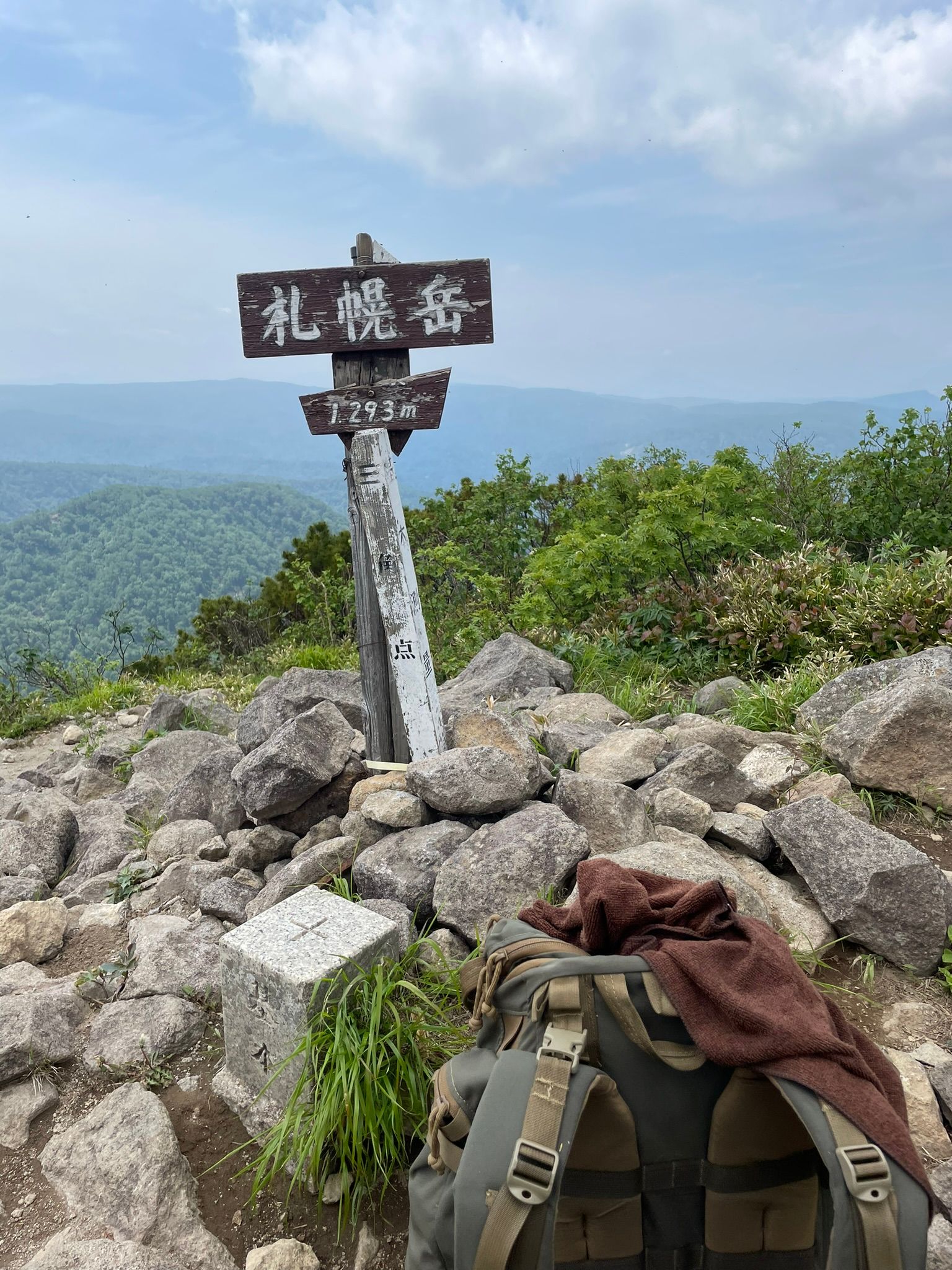
The western slopes of Sapporo-dake (札幌岳) (1293masl, 11kms) are marked by their long, graceful ridgelines, while the north face is clearly visible from the southern suburbs of Sapporo City. The name of the mountain probably comes from the old Ainu name for the Toyohira River (豊平川), the headwaters of which river are to be found here. Before the Meiji-era colonization of Hokkaido by the Japanese, the Toyohira River was called sat-poro-pet, meaning 'big, dry river.'
As the mountain sits quite close to the popular onsen town of Jozankei (定山渓) and the similarly popular Hoheikyo Onsen (豊平峡温泉), and as the mountain can be climbed as a day trip from Sapporo, it's one of the more popular hikes on the island. Furthermore, the trails passes the quaint Hiyamizu-goya mountain hut (冷水小屋), lying alongside the Hiyamizu-sawa (冷水沢). This hut is not open to the public, unless you first organize with the Hokkaido University. The traverse from the summit to nearby Soranuma-dake (空沼岳) in the east is an easy hike in summer and a lovely ski-touring trip in winter.
From National Route 230 (国道230号線), heading in towards Hoheikyo Onsen, you'll find the trailhead just before the Hiyamizu Tunnel (冷水トンネル) which services Hoheikyo Dam.
The first half of the hike consists of a refreshing walk alongside the Hiyamizu-sawa. In early spring, Anemone flaccida (ニリンソウ) and Trillium tschonoskii (ミヤマエンレイソウ) bloom along here. At 750 meters in elevation you'll arrive at Taifuu-kogen (台風高原), a reclaimed forest of Sakhalin fir (Abies sachalinensis, トドマツ) and Erman's birch (Betula ermanii, ダケカンバ). In 1954 the typhoon Toya- maru (洞爺丸) knocked down the greater part of the forest here; the current forest along this plateau grew from the deadfall. You'll ford the stream a number of times through here before arriving at Hiyamizu-goya. Though the hut here stands two stories tall it's built from local lumber and blends in with the surrounding forest.
From Hiyamizu-goya onwards the trail starts to get quite steep. You'll pass through first a conifer forest and then a grove of twisted Erman's birch. Winters bring a lot of snow in these mountains, so even in mid-May you'll probably see a good deal of snow on the lee sides of the ridgelines. Across the deep valley of Hoheikyo, you should be able to see Muineshiri-yama (無意根 尻山).
From the summit of Sapporo-dake, you'll find a view out over Jozankei and the city of Sapporo. Among the old dwarf stone pine (Pinus pumila, ハイマツ)on the summit, you'll encounter a peace you wouldn't think could be found within the Sapporo city limits.
There is also a northern route which starts in the Bannosawa valley which used to run by the Toyotaki Falls (豊滝), but this trail has since been diverted due to a major landslide. This route is still open and is a much steeper and challenging ascent. I highly recommend this route if you are after a decent work out. This trail meets the Sapporo-dake/Soranuma-dake trail just east of Sapporo-dake summit.
The trail down is the same one you took up for both routes or it is a long walk/bus ride back to the start!
That all being said, there are a number of small, pleasant mountain huts around here; and walks along the streams and ridgelines of the area, especially in late spring or at the changing of the leaves in the fall, can make for incredible weekend treks.
If you're heading to Soranuma-dake in the east, it's worth taking your time and stopping at a mountain hut along the way.
Difficulty-5/10