
Shakotandake 積丹岳
Standard Ascent & Return from Shakotan‑dake Hut (積丹岳ヒュッテ)
Distance: ~8.5 km return
Elevation Gain: ~700 m
Time Required: 4.5–6 hours
Difficulty: Intermediate
Season: Late June – October
Trailhead: Shakotan‑dake Hut (積丹岳ヒュッテ)
Overview
This is the classic ascent of Shakotan‑dake, climbing from the hut through deep coastal forest before emerging onto open alpine ridges with sweeping views of the Shakotan Peninsula and the Sea of Japan. The route is straightforward but steadily steep, with a rewarding transition from forest to airy volcanic slopes. On clear days, the summit offers one of the finest ocean‑mountain panoramas in western Hokkaido.
Shakotan‑dake Hut → Forest Approach (0:00–0:40)
The trail begins to the right, beside the hut, entering dense mixed forest of oak, spruce, and sasa bamboo. The path is well‑cut and climbs gently at first, following a narrow ridge. Expect shaded trails through dense canopies and quite damp conditions due to the high rain and snowfall The Shakotan region experiences.
Steeper Ridge Climb (0:40–1:30)
The gradient increases at the 800-metre elevation mark as the trail commits to the main ridge. The forest thins gradually to thick groves of sasa bamboo and the occasional tree trunk growing horizontally across the trail (this is due to the extremely high snowfall and heavy snow base), and short openings provide views toward the Shakotan coastline. The footing is generally good, though early season hikers may encounter soft ground or lingering moisture. This section is sustained but not technical.
Transition to Open Slopes (1:30–2:00)
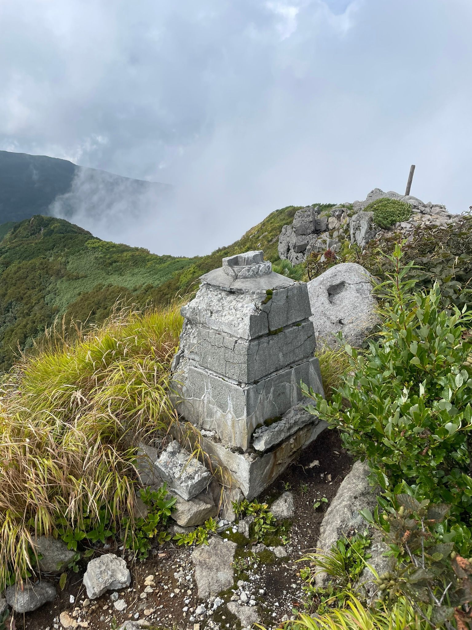
Breaking out of the forest, the route enters low alpine shrubs and volcanic rock. The ridge becomes more defined, and the views can expand dramatically depending on how high the sasa has sprung up after the snow melt. The trail gets quite thick with overgrown sasa from here to the summit, climbing steadily toward the upper shoulder of the mountain. Wind exposure increases here.
Final Ascent to the Summit (2:00–2:30)
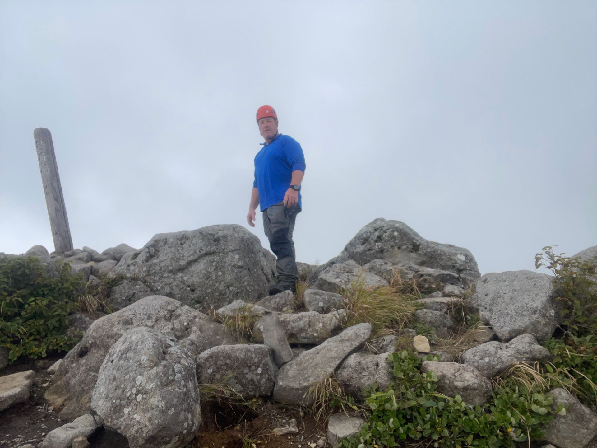
A final push up rocky, open terrain leads to the summit of Shakotan‑dake (1,255 m). The summit area is broad and exposed, offering panoramic views across the Shakotan Peninsula, the deep blue Sea of Japan, and inland toward the Niseko range. On exceptionally clear days, you can trace the coastline far to the north and south.
Return via the Same Route (2:30–4:30)
Descend the same ridge back toward the hut. The upper rocky section requires careful footing when damp, and the steep forested ridge can be slippery on the way down. Expect 2–2.5 hours for the descent.